 |
LORD HOWE ISLAND
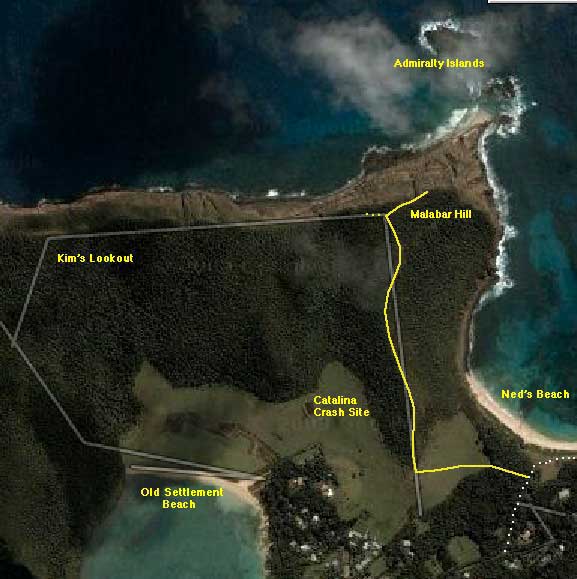
Malabar Hill |
|
|
Return distance : 4 km; Time : 2 hours A relatively short walk today, up to the top of Malabar Hill.
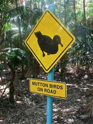
There are plenty of signs of mutton birds on Lord Howe Island, but you have to be in the right place at the right time to actually see the critters.
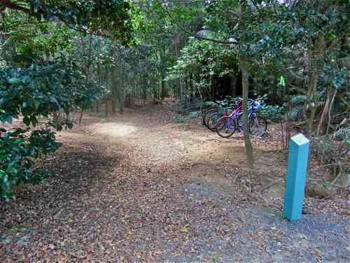
The beginning of the Malabar Hill Track branches off the road to Ned’s Beach, and passes through a mutton bird nesting ground. Of course, like everyone else, you arrive here on your hired bike which you can safely leave unlocked. (If someone stole it, where would they take it?)
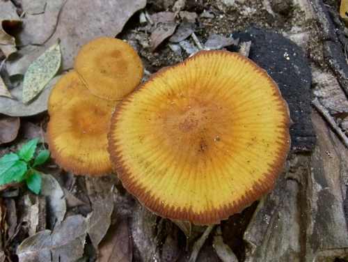
There are toadstools at the bottom of our garden – well, along the way.
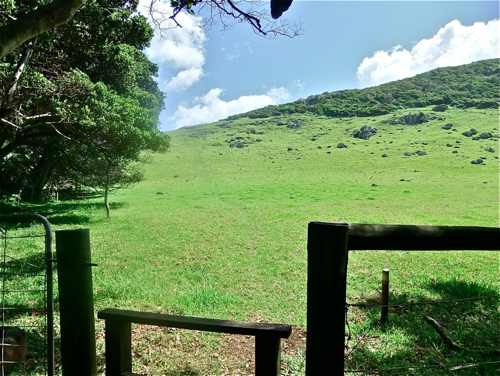
After a short walk the track emerges across a stile to climb this paddock to the Malabar Ridge.
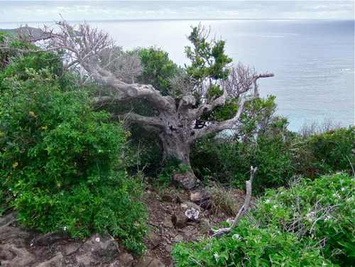
Then the climb up the ridge begins. This old tree has seen a few sights.
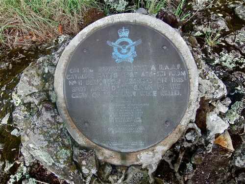
Half way up we come to a plaque marking the spot where the Catalina flying boat actually hit the ridge in 1948.
The ridge track is very interesting, with varied terrain and views out both sides.
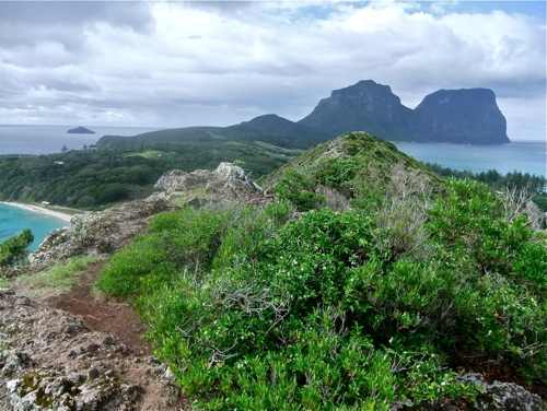
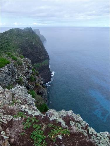
Then we reach the summit with views over the northern cliffs. Just here a track branches off to the left along this northern ridge towards Kim's Lookout in the distance. It is a 4.5 km loop walk.
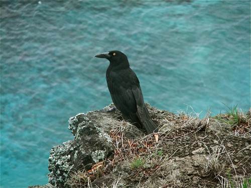
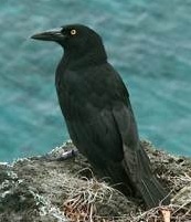
Instead of taking this, it is worth turning right and following down a little way. The track appears to be hazardously close to the cliff edge, but it is possible to follow along safely on the landward side. I was greeted by several tame currawongs.
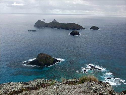
From here we can look out to Roach Island and see the sea tunnel.
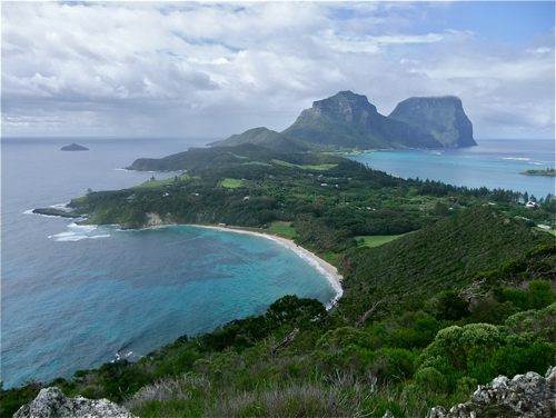
We can also look southwards across the island. Ned’s Beach is in the foreground, and of course Mounts Lidgbird and Gower make their obligatory appearance. The ridge track can be seen at right. The Catalina was heading for the sheltered lagoon at right. On a clear day it might be possible to see Ball’s Pyramid on the horizon, left of centre, but perhaps not: I think it might lie behind Intermediate Hill.
What an excellent walk!! |
||
|
|
||