 |
MOUNT FIELD (TAS)
Waterfalls and Tall Trees |
|
|
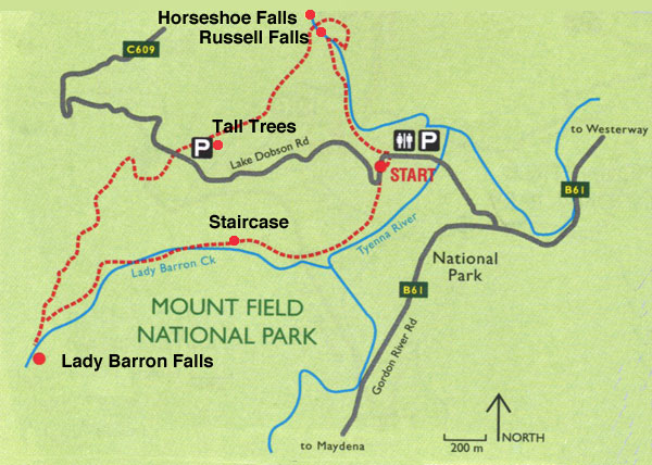
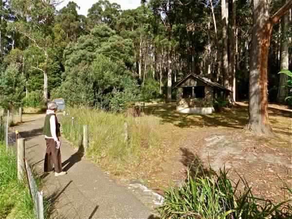
Return distance : 6 km ; Time : 2 hours We drive into the Mt Field Visitors’ Centre, and park in the large car park. Maps are available at the Centre, and also the required Parks pass. The trail to Russell Falls is sealed and well sign posted.
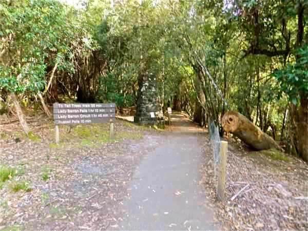
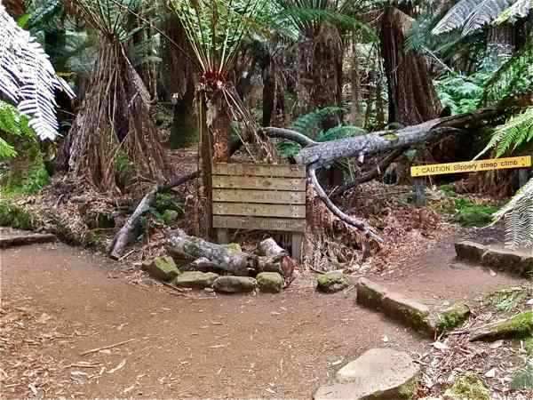
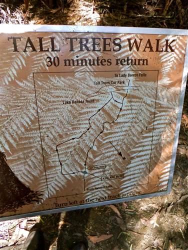
This sign tells us that we are heading in the right direction to see the Tall Trees and the Lady Barron Falls.
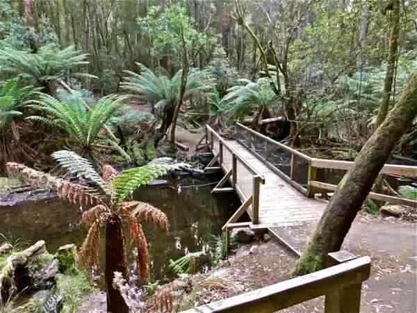
There is a loop track to Russell Falls; we turn off the sealed track across this bridge to follow the nature trail.
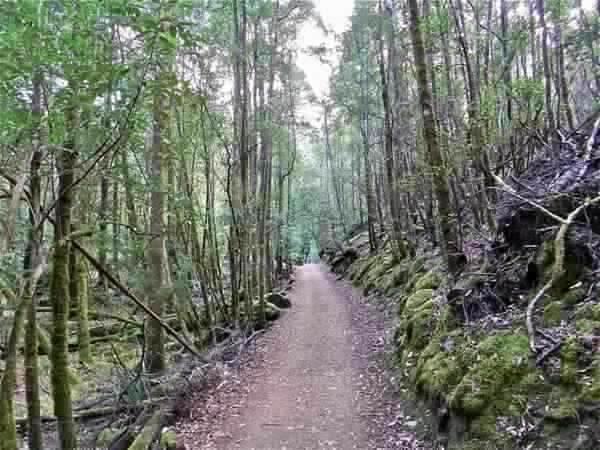
This valley is cool and damp.
There is moss growing on many of the trees.
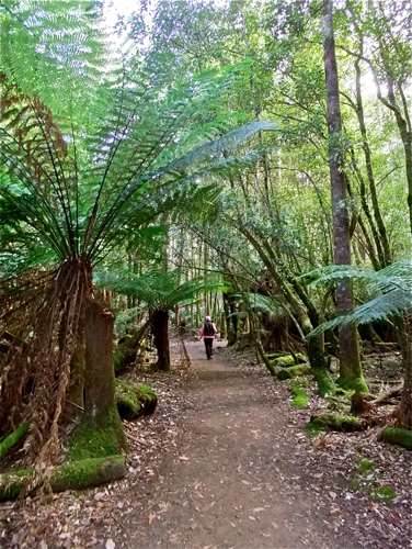
Tree ferns are a welcome sight.
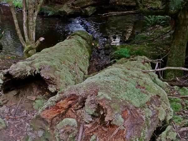
The policy in the National Parks is to let fallen trees lie where they fall. They then give home and shelter to many of the creatures of the bush.
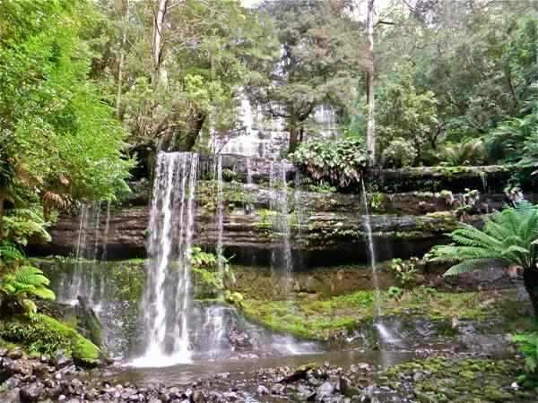
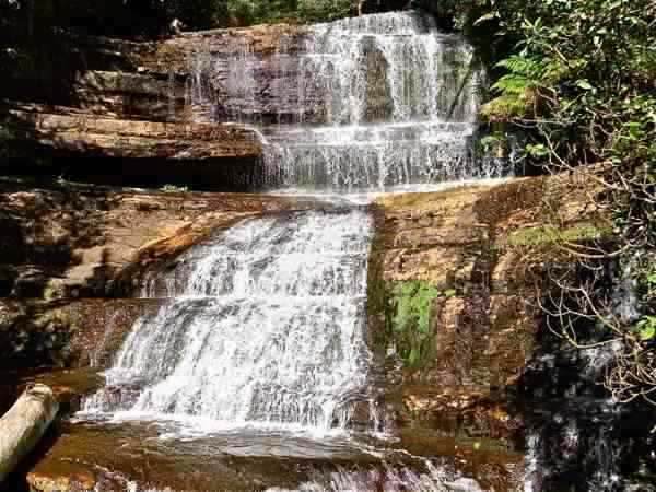
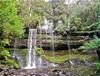
We soon arrive at the famous Russell Falls. They were first known as Browning’s Falls, named after a settler who discovered them in 1856. They retained this name until about 1884 when confusion caused them to be referred to as Russell Falls, and by the turn of the century, the name was firmly established. It appears there was another Russell Falls, named for a member of an exploration party in the Derwent Valley, and actually located on the Tyenna River.
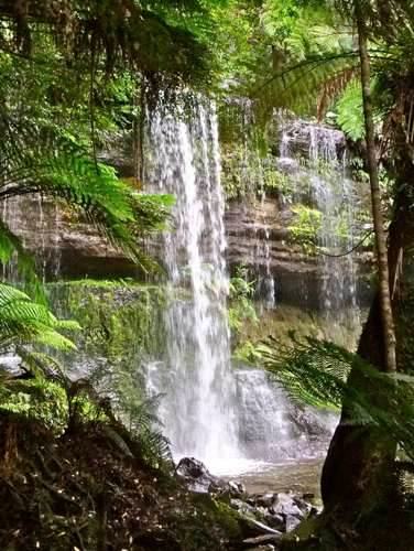
There are three lookouts including a small viewing platform to the left of the falls ...
... and a somewhat higher lookout to the right. These beautiful falls cascade from quite a height (some 300 metres) over horizontal layers of rock.
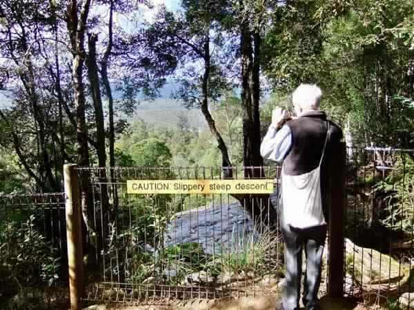
We leave the bottom of the falls, and follow the indicated trail – a climb up sloping path and wooden staircase to the top of the falls. It is steep, and would be slippery when wet.
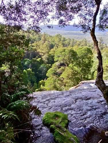
So to the top of the fall. Presumably the sign refers to the path we have just ascended, not the precipice out there!
It looks like a long drop, but there is no sure way of telling from here.
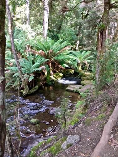
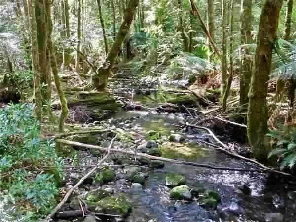
We follow the stream back a short way ...
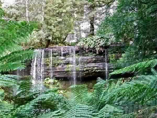
... and quickly reach Horseshoe Falls. Only a small fall, but the horseshoe shape is easily seen.
We now head off towards the tall trees. This one doesn’t count, but it was a fine specimen in its day.
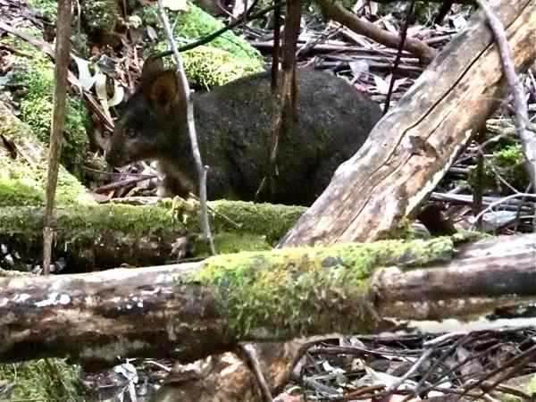
We didn’t see much wildlife, but this little fellow was the second of two pademelons for the day. They are wary little creatures.
After some walking we come to a loop path to the Tall Trees which we take.
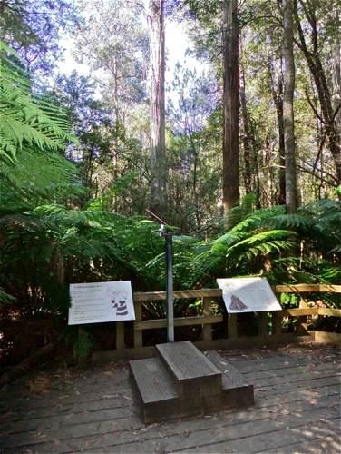
We come to a wooden platform with an instrument called an inclinometer which you can aim at the top of the nearest tree. Looking at the angle and referring to the nearby chart helps us gauge the height. The main problem is finding the top of the tree through the foliage!
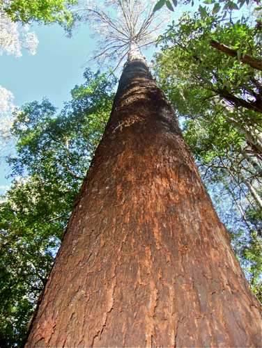
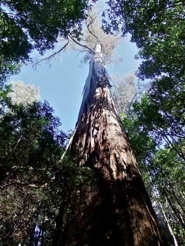
These trees are certainly very straight and tall.
This specimen is thought to be the tallest in Tasmania.
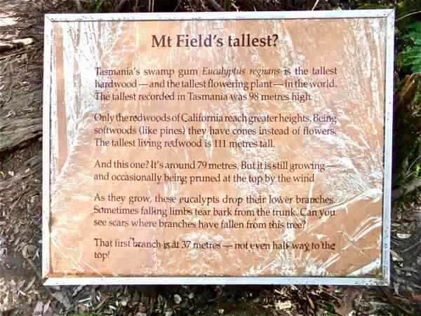
A nearby sign gives us the details. We do seem to be very fond of records!
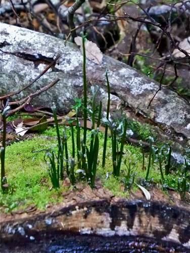
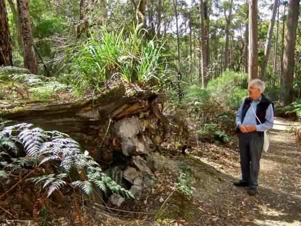
Leaving the Tall Trees, we cross Lake Dobson Road, and head for Lady Barron Falls. We came across this chopped log, covered with moss, and supporting a whole new generation of growth.
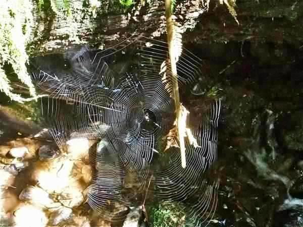
This terrain is a haven for the spider population too.
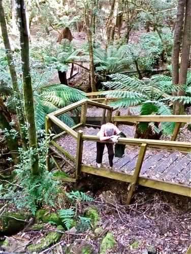
The path descends gradually, and on occasion, not so gradually.
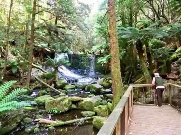
At the bottom of the steps there is a junction in the track, and we take the short branch to Lady Barron Falls. This pretty fall is not unlike Russell Falls in structure, but much smaller.
Returning to the junction, we follow an easy path down the valley alongside the stream.
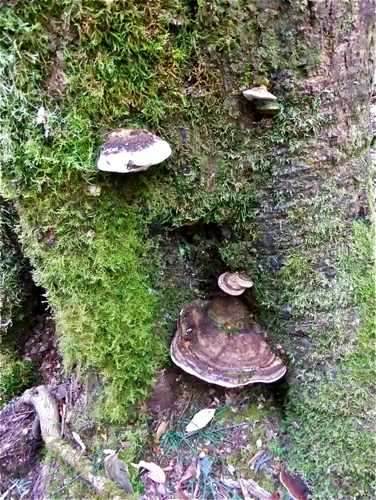
There are interesting sights to see, like these fungi ...
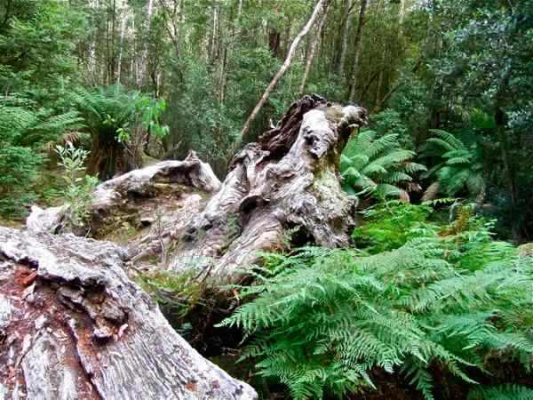
... and the remains of yet another tree.
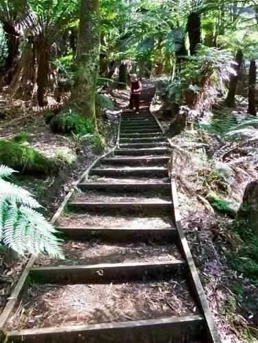
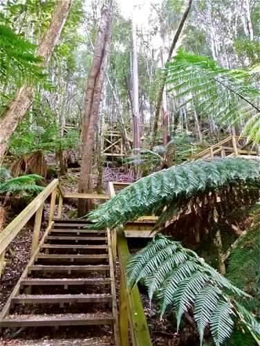
We cross the stream, confident that we will soon reach the Visitors’ Centre (and have lunch!), but we are in for a nasty surprise. The path leads us up a giant staircase.
Surely this reaction is rather dramatic?! The staircase is well built with frequent seats, but it does have 239 steps (the ranger later told me).
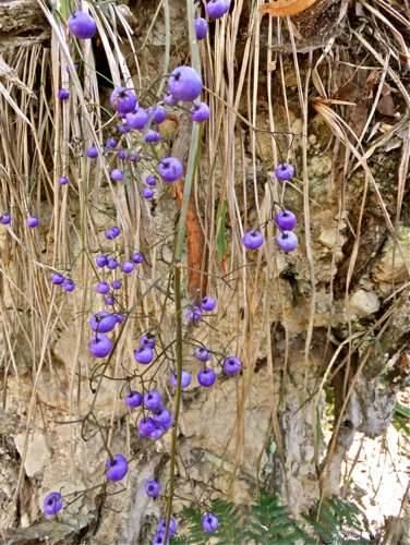
A final interesting find was this pretty bract of purple berries
We return to the Visitors’ Centre, grateful for plates of hot vegetable soup to restore our strength. This has been a very interesting walk, and (apart from the final staircase) not difficult. |
||
|
|
||