|
Saturday afternoon and pleasant weather for a walk up the lower Torrens Gorge – the top end of the Linear Park.
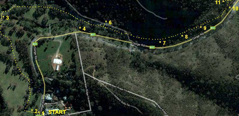
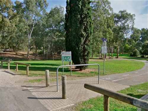
• 1 We park beside Gorge Road, diagonally opposite Bermuda Court. The entry is well sign-posted.
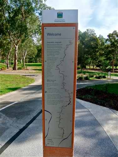
• 2 Near the entrance there is a construction of four vertical columns with details and a map of the Linear Park, from here to the sea, some 20 km distant as the crow flies. (In fact some 32.5 km as the river flows!)
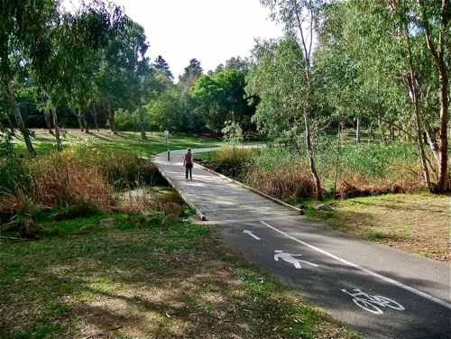
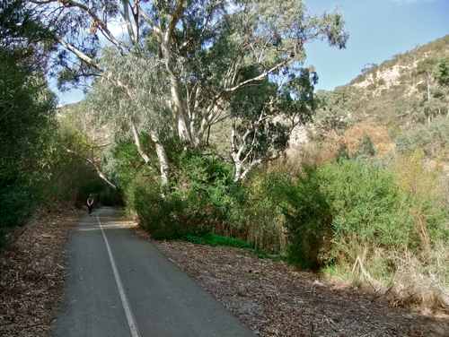
• 3 Today’s walk goes in the opposite direction, crossing the river and heading back into the Gorge. The pathway is wide and sealed, suitable for walking, jogging or cycling (even a wheelchair!).
• 4 In this section of the walk we come across various pipelines of unknown purpose.
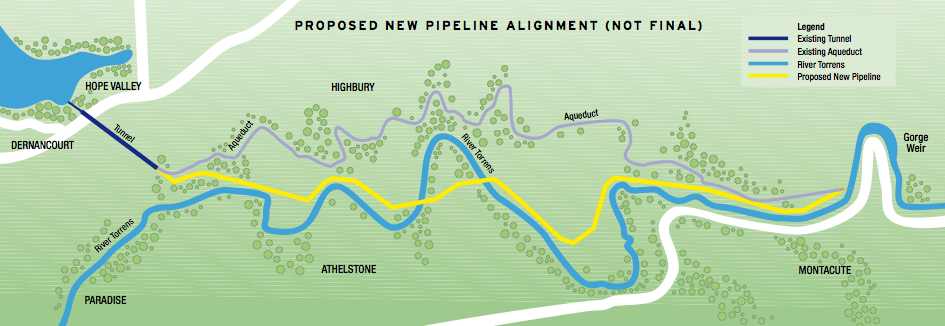
• 5 There is one major construction though. An open aqueduct used to flow from the Gorge Weir further up the river; it ran alongside the river, and then meandered westwards to finally link up with the Hope Valley Reservoir. In 2008 – 2009 this was replaced by an underground pipe, mostly buried in the Linear Park. The map below is from SA Water.
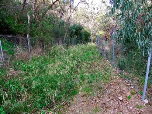
• 6 An old mining road crosses the track here, and a few steps up above this we see where the aqueduct used to run, a concrete channel behind its protective fence. It looked much better in those days!
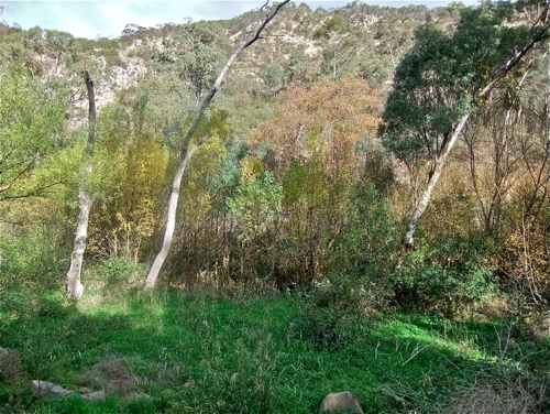
• 7 Back on the main path, the valley starts to narrow as we progress up.
• 8 The river is hidden down below here somewhere.
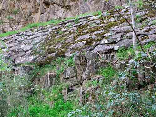
• 9 Above us on the left is continuing evidence of the aqueduct construction. I’m sure its replacement was necessary, but it seems rather sad to have this fine stone work falling into disuse.
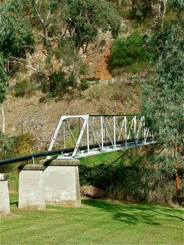
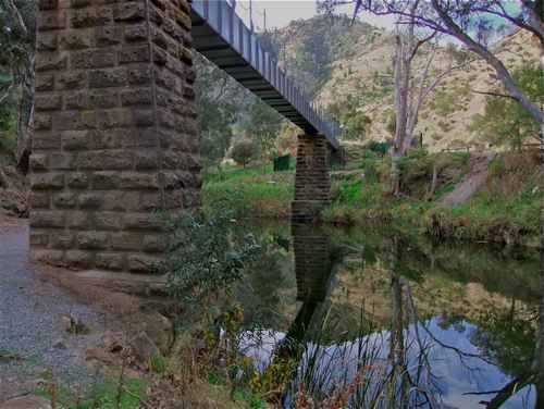
• 10 Near the end of the track, this is where the old pipe from the Weir crossed the river before entering the aqueduct. Now the old pipe (I assume!) is enclosed in smart metal casing, before the water enters its new confining pipeline.
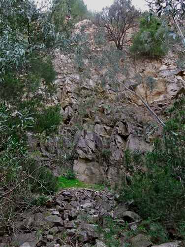
• 11 The main track ends shortly after this, but it’s worth tackling the steep little uphill climb at the end to view this old quarry, now disused and pleasantly overgrown.
An easy return back to the car. |
