|
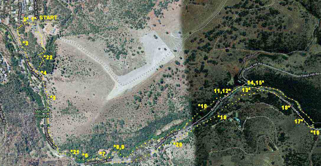
BROWNHILL CREEK Time : 1 hour 40 minutes; Distance : 7.5 km |
||||||
|
CREEK
|
||||||
|
It is a cold morning and the forecast is for showers, but the sun is shining, the sky is blue and Brownhill Creek is calling! We drive to McElligot Quarry and park there. We notice from the map that this path skirts right around the bare slopes of Brownhill.
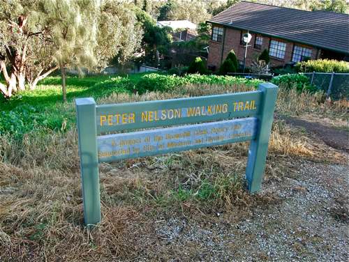
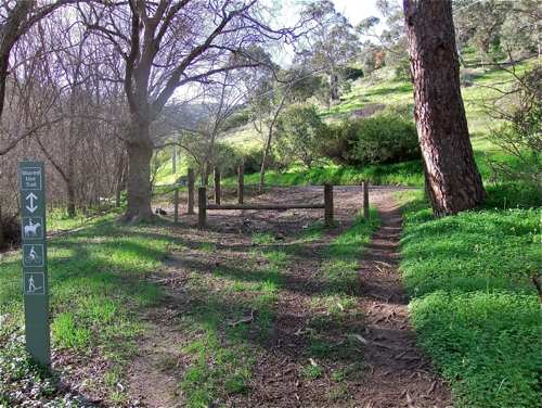
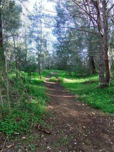
• 1 Immediately to the right of the entrance is the start of the Peter Nelson Walking Trail. It is also the continuation of the Yurrebilla Trail. It is a dirt track and there is quite a steep descent.
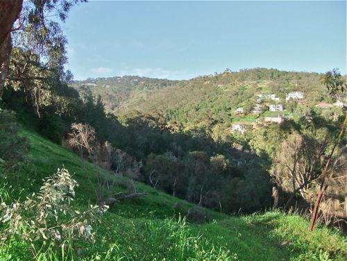
• 2 A little way down is this view of where we are going. The Brownhill Creek valley veers around to the left.
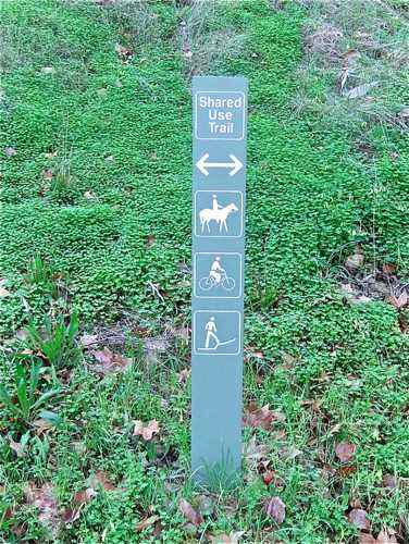
• 3 We see this is going to be a shared track. I did find evidence of horses, but only saw a few walkers. We see that walkers face some uphill grades!
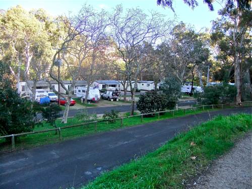
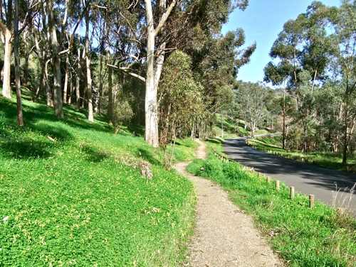
• 4 The track follows alongside the Brownhill Creek Road for a distance. We pass the caravan park. The morning is quite cold, especially along here in the shade, and I am pleased not to be in a caravan!
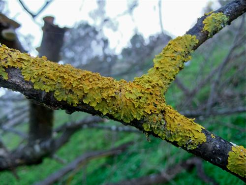
• 5 This lichen bears out my thoughts about the cold morning, but it is a pretty reminder.
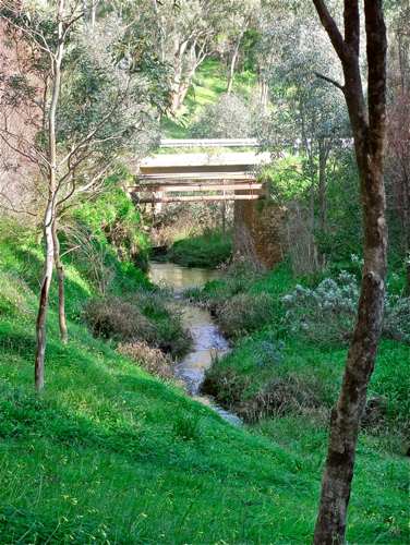
• 6 We cross the road bridge, and the creek now runs to the left of the ascending road. It is gurgling down very happily, and I am enjoying this walk in its company.
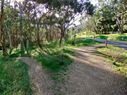
• 7 Now the track divides, with the main Yurrebilla trail crossing the road. We take the narrower track to the left.
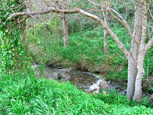
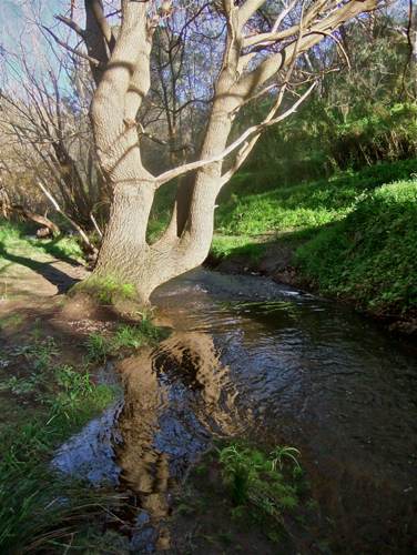
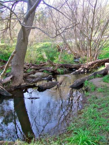
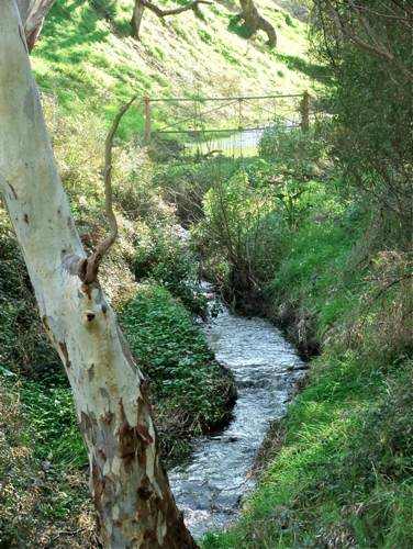
• 8 The track runs close to the stream. People who live in places with lots of water won’t be impressed by scenes such as this, but here in South Australia, I am reminded of what a blessing this water is.
• 9 The scenery here will be quite different when the trees put on their spring foliage.
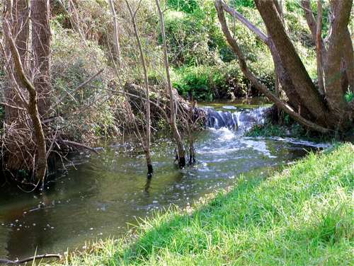
• 10 The path now crosses over the stream atop a concrete ‘bridge’. Here is a waterfall!
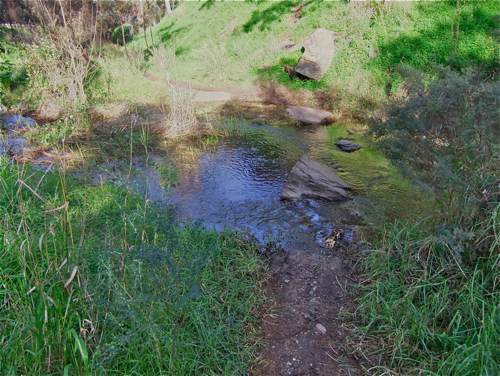
• 11 Now we recross the river, with the help of some stepping stones. I have to say I’m not so confident negotiating stepping stones these days, but my feet stayed dry here.
• 12 Here's trouble: a fence indicates private property. Not much hope of stopping the stream with this!
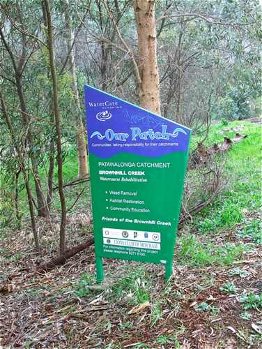
• 13 The track emerges onto the road and passes a house just near the Tilleys Hill Road turnoff, and we follow the (main) road up a little way. It’s good to see that Brownhill Creek has some friends.
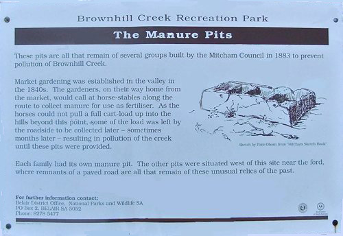
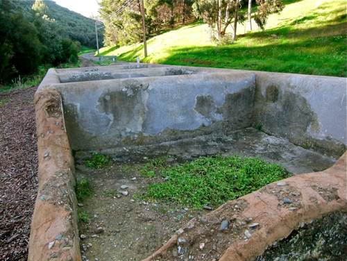
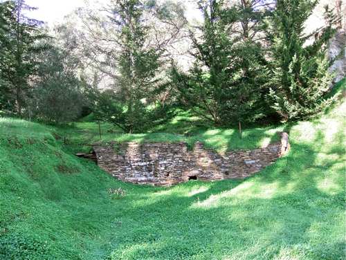
• 14 We come to the Manure Pits: a curious relic from the past. These were used by local farmers to store manure when there was too much for a single load! We rejoin the Yurrebilla Trail here.
• 15 The Pits have not been used for some time. A curious relic of the past.
• 16 Further along we follow the Yurrebilla Trail across the stream and come to the road. This appears to be the end of the Reserve, although the Yurrebilla Trail follows the road further up to Belair. We turn right and follow the road back down.
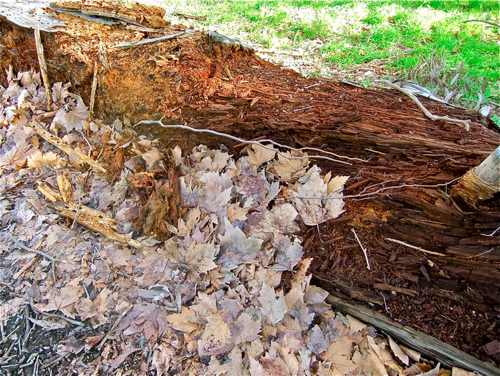
• 17 By the roadside: death and decay ...
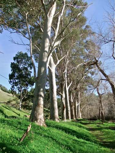
• 18 ... and a little further along, vibrant life. This row must have been planted by early settlers.
• 19 Across the road from the Manure Pits, the Yurrebilla Trail winds down alongside the road. This track is away from the stream and is not so scenic.
• 20 An interesting old retaining wall. It doesn’t look as though it ever held water, and I’m not sure what there is to retain. Perhaps it was a flood control measure.
• 21 Now we return to the road bridge where the trail also crosses.
•22 Back to the caravan park, and the second of two unsigned trails up to the left (see here). The first climbs steeply to the Brownhill Summit, the second to McElligot Quarry. I climb to the path junction explored earlier, and here follow the path to the left.
There are a couple of minor trails off to the left along here which rejoin the Peter Nelson Trail. The very steep main trail comes out at the end of the fence at the end of the McElligot Reserve. So back to the car. |
||||||
|
CREEK
|
||||||
