|
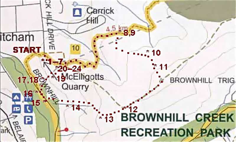
McELLIGOT QUARRY AND BROWNHILL SUMMIT Time : 1 hour 25 minutes; Distance : 4.5 km |
||||||
|
QUARRY – SUMMIT
|
||||||
|
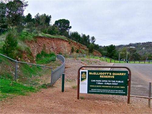
Today we explore the hills near McElligot Quarry and Brownhill. I get a lot of satisfaction in exploring previously unexplored trails and finding how they fit together. There were plenty of those today! We park the car in the McElligot Quarry Reserve carpark at the end of Carrick Hill Drive (the continuation south of Fullarton Road).
• 1 McElligot's Quarry is a relatively unknown destination in the foothills, and well worth a visit. There used to be access to the Brownhill Reserve just to the left of this entrance, but a house blocks the way now.
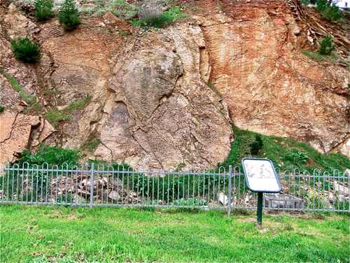
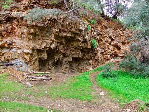
• 2 A sheer cliff face bounds the eastern side of the reserve. The rocks show clear evidence of once being the ocean bed. There are signs which describe the particular features.
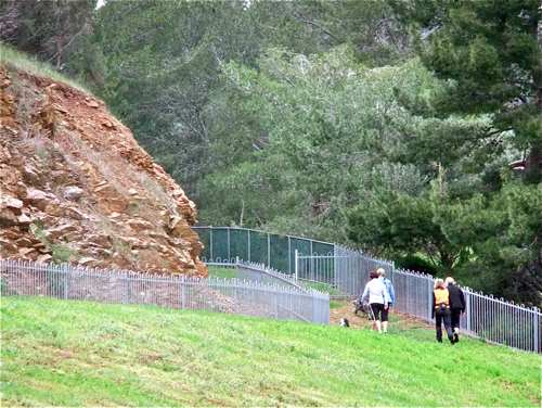
• 3 At the south-eastern corner of the Reserve a mysterious path beckons – all safely fenced.
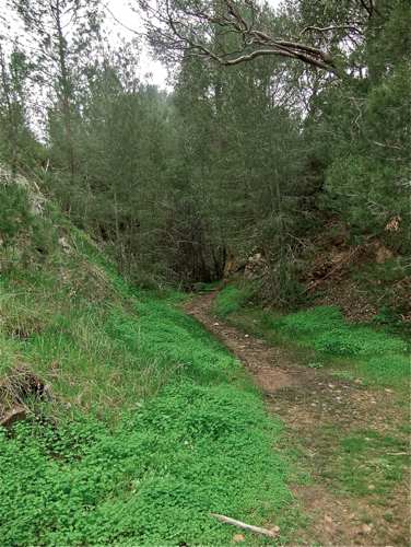
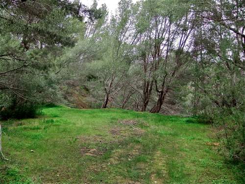
• 4 The path leads through a cleft in the rocks to a hidden glade, formerly part of the Quarry.
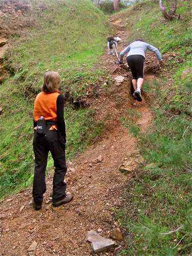
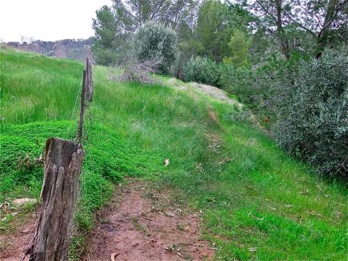
• 5 It seems as though we are now trapped, but we climb up this unpromising goat track.
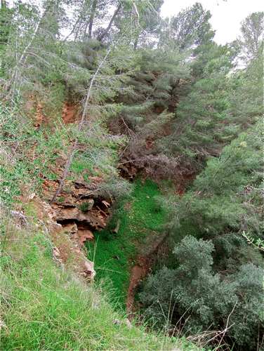
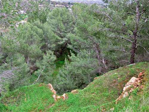
• 6 Following right at the top, the trail skirts around the edge of the Quarry. There are no fences around the precipitous edge, so it is wise to keep our distance.
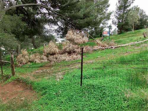
• 7 We soon reach the north-eastern corner of the Quarry itself. Climbing over the broken down fence, we immediately find ourselves at the join of the Yurrebilla Track and the Brownhill Summit climb reached on a previous walk.
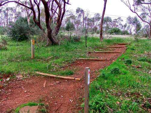
• 8 We follow back north along the Yurrebilla Track, after a time reaching this well formed track to the right which we take. This is almost opposite the track to Carrick Hill on the left.
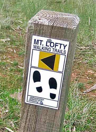
• 9 For some reason it is called a Mt Lofty Walking Trail. It's a long way to Mt Lofty ... .
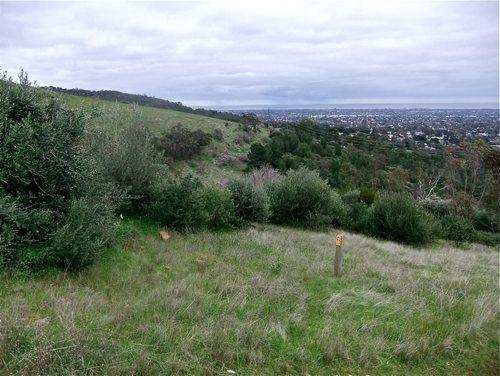
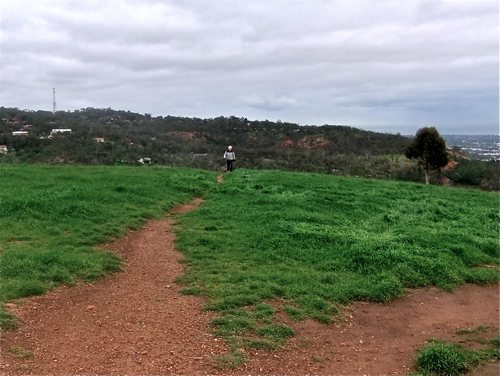
• 10 This is a very pleasant climb. Looking southwest, the adjacent ridge is where the main path goes up to the Summit.
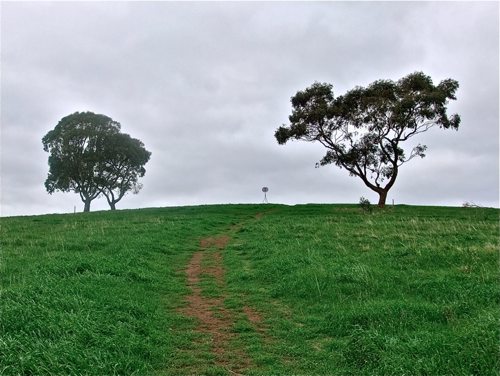
• 11 The Summit trig appears – from a different angle.
• 12 After a short rest by the trig, we walk south from the Summit, and take the path straight ahead instead of turning right for the main descent. This (more!) elderly walker told me he does this walk up to the Summit twice a week. I admire his commitment, but prefer more variety in my walks.
• 13 Now, where does this track lead? We can see the Brownhill Creek Caravan Park far off in the distance. Anyway, it's all downhill from here.
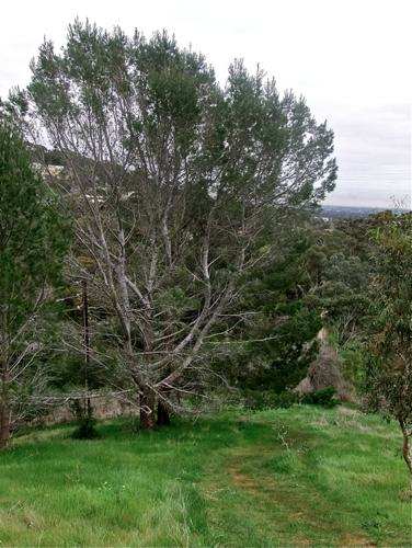
• 14 Nearing the bottom of the hill we come to this great old fir tree. By now the sight of any tree is welcome.
• 15 Finally we reach the valley floor, just opposite the caravan park. This is the track we have just descended. How does one tell this is the climb to the Summit?
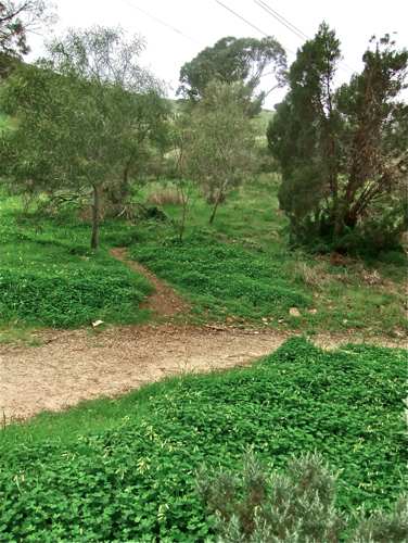
• 16 Twenty metres down the valley trail, we come to this track, also unsigned. Now, where does this lead? I have a fair idea, but let's find out!
• 17 This photo is included as a joke, although I do like to keep a record of all my fellow walkers on the trail.
• 18 After a steep initial climb, this new trail levels out a little.
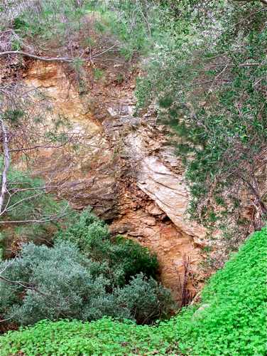
• 19 And as expected, we are now back in Quarry country – this excavation at a lower level than the main McElligot Quarry.
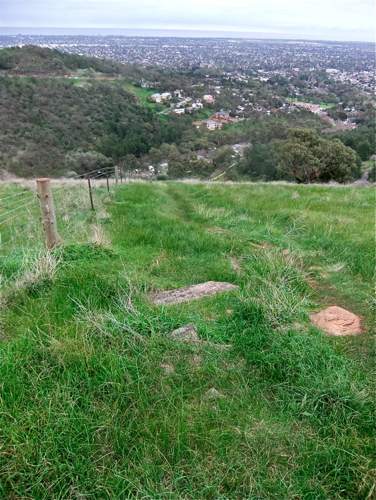
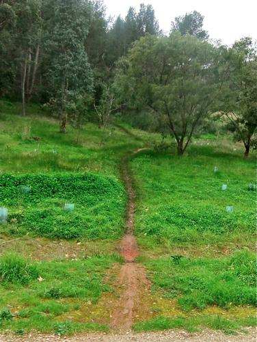
• 20 There is a choice of tracks near here. Straight ahead leads to a difficult upward shale slope. Left is still to be explored. Right is a steep upward goat track which will take us around the east side of the Quarry. Still no fences guarding the precipitous cliffs.
• 21 And so we return to the fence at the north-east corner of the Quarry. Another mystery track mapped!
• 22 We now return along the track we first negotiated.
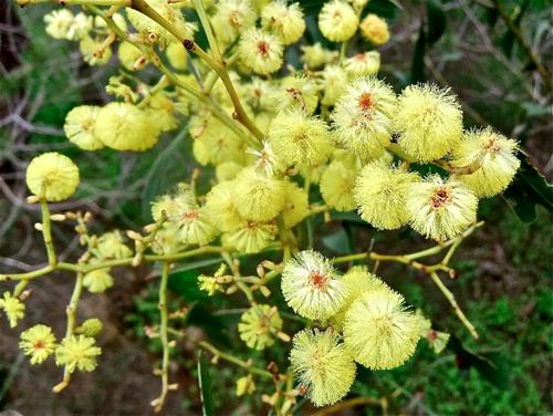
• 23 A couple of wattle trees give a splash of bright colour.
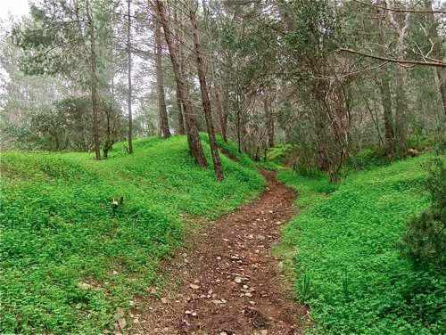
• 24 We descend the short steep descent without incident to the shady glade. It is a pretty, sheltered place here. At the far end is the top of the steep shale slope seen earlier from below. There is evidence of mountain bike activity there. Better them than me ... .
And so we return to the car. If we compare this walk with the other Summit Walk, we find that there are various ‘mix and match’ possibilities. |
||||||
|
QUARRY – SUMMIT
|
CREEK | |||||
